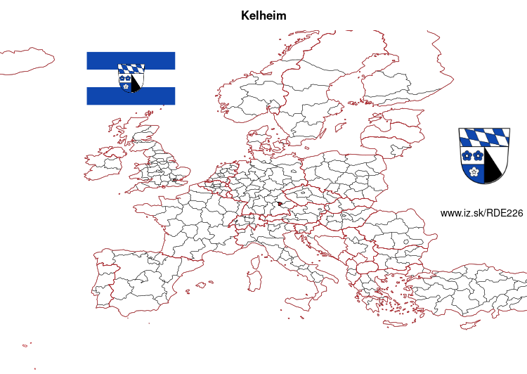
Kelheim – DE226
EU regions: Germany > Bavaria > Lower Bavaria > Kelheim
| Indicator | Period | Value |
|---|---|---|
| Gross domestic product | ||
| GDP per capita in PPS of EU average | 2021 | 98 |
More on wikipedia wikidata Q10474 on OpenStreetMap Kelheim slovensky: DE226
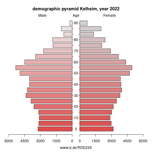
Demographics
| Indicator | Period | Value |
|---|---|---|
| Demographics | ||
| number of inhabitants | 2023 | 125 701 |
| population density | 2022 | 117.8 |
| old-age dependency ratio | 2023 | 30 |
Other: Lower Bavaria, Passau, Straubing, Kelheim, Landshut, Passau, Regen, Rottal-Inn, Straubing-Bogen, Dingolfing-Landau, Landshut, Deggendorf, Freyung-Grafenau
Neighbours: Neumarkt, Regensburg, Pfaffenhofen, Landshut, Freising, Eichstätt
Suggested citation: Michal Páleník: Europe and its regions in numbers - Kelheim – DE226, IZ Bratislava, retrieved from: https://www.iz.sk/PDE226, ISBN: 978-80-970204-9-1, DOI:10.5281/zenodo.10200164
https://www.iz.sk/en/projects/eu-regions/DE226
 Share
Share Facebook
 Twitter
 News
News