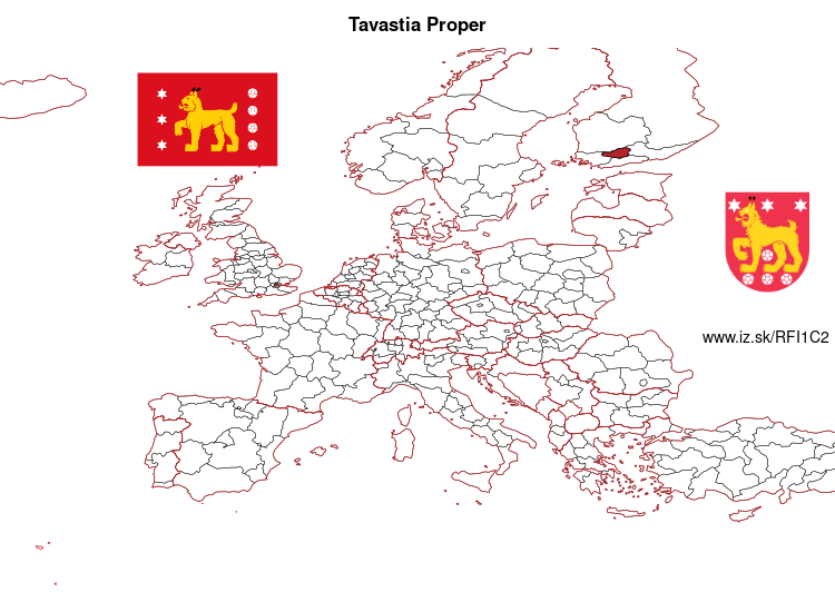
Kanta-Häme – FI1C2
EU regions: Finland > Mainland Finland > Southern Finland > Kanta-Häme
| Indicator | Period | Value |
|---|---|---|
| Gross domestic product | ||
| GDP per capita in PPS of EU average | 2021 | 94 |
More on wikipedia wikidata Q5695 on OpenStreetMap Kanta-Häme slovensky: FI1C2
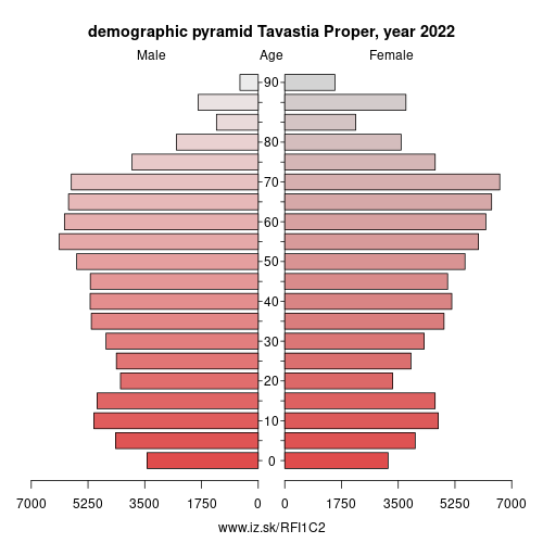
Demographics
| Indicator | Period | Value |
|---|---|---|
| Demographics | ||
| number of inhabitants | 2023 | 169 537 |
| population density | 2022 | 32.7 |
| old-age dependency ratio | 2023 | 45.7 |
Other: Southern Finland, Kanta-Häme, South Karelia, Southwest Finland, Päijänne Tavastia, Kymenlaakso
Neighbours: Pirkanmaa, Päijänne Tavastia, Southwest Finland, Helsinki
Suggested citation: Michal Páleník: Europe and its regions in numbers - Kanta-Häme – FI1C2, IZ Bratislava, retrieved from: https://www.iz.sk/PFI1C2, ISBN: 978-80-970204-9-1, DOI:10.5281/zenodo.10200164
https://www.iz.sk/en/projects/eu-regions/FI1C2
 Share
Share Facebook
 Twitter
 News
News