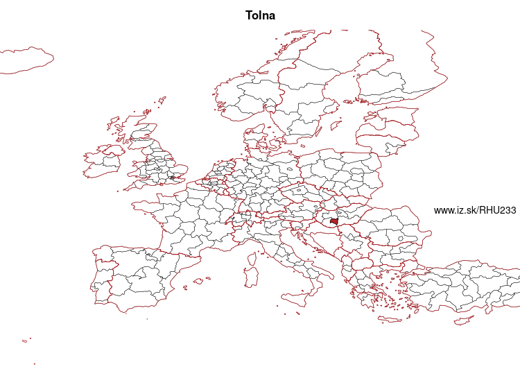
Tolna County – HU233
EU regions: Hungary > Transdanubia > Southern Transdanubia > Tolna County
| Indicator | Period | Value |
|---|---|---|
| Gross domestic product | ||
| GDP per capita in PPS of EU average | 2022 | 57 |
More on wikipedia wikidata Q191625 on OpenStreetMap Tolna County slovensky: HU233
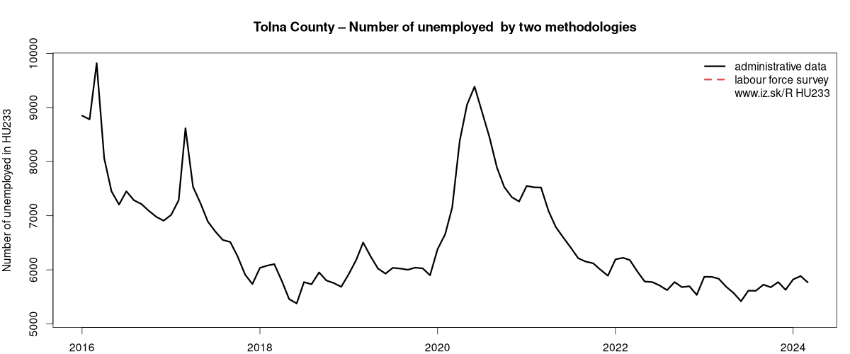
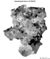
Unemployment
| Indicator | Period | Value |
|---|---|---|
| Unemployment according to labour offices | ||
| number of registered unemployed | March 2024 | 5768 |
| number of unemployed women | March 2024 | 2905 |
Comparisson of unemployment according to ILO methodology and registered unemployment yeilds some differences.
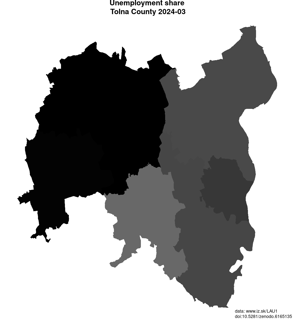
Data on unemployment in counties of Tolna County are available at Local Administrative Units data of Visegrad countries.
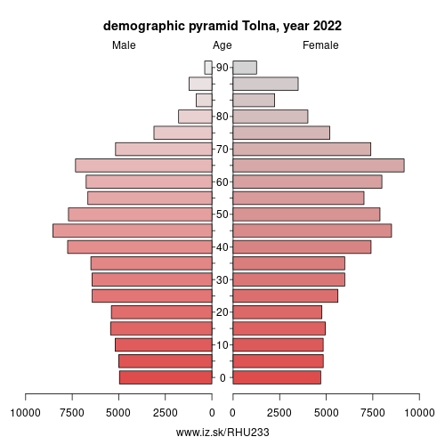
Demographics
| Indicator | Period | Value |
|---|---|---|
| Demographics | ||
| number of inhabitants | 2023 | 208 044 |
| population density | 2022 | 57.6 |
| old-age dependency ratio | 2023 | 35.9 |
Other: Southern Transdanubia, Tolna County, Baranya County, Somogy County
Neighbours: Bács-Kiskun County, Somogy County, Baranya County, Fejér County
Suggested citation: Michal Páleník: Europe and its regions in numbers - Tolna County – HU233, IZ Bratislava, retrieved from: https://www.iz.sk/PHU233, ISBN: 978-80-970204-9-1, DOI:10.5281/zenodo.10200164
Local Administrative Units data of Visegrad countries
Statistical data on LAU1 regions of Slovakia, Czechia, Poland, Hungary. This LAU1 dataset on 733 regions contains data on population, age structure of inhabitants, on number and structure of unemployed and is regularly updated.. . .
 Share
Share Facebook
 Twitter
 News
News