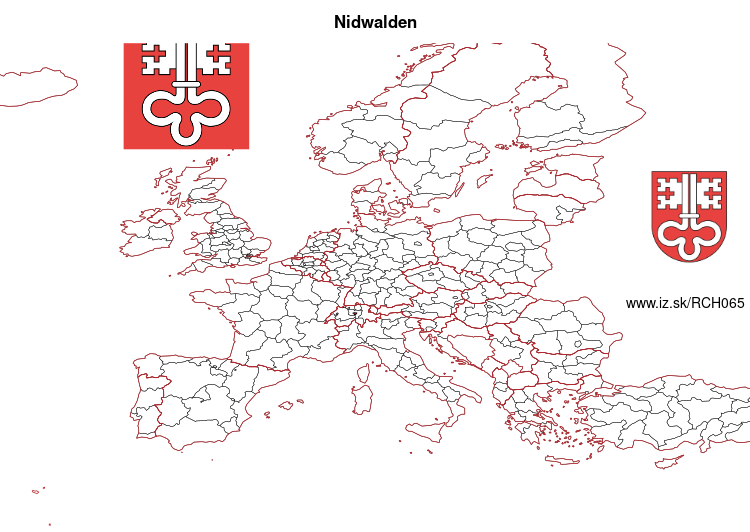
Canton of Nidwalden – CH065
EU regions: Switzerland > SCHWEIZ/SUISSE/SVIZZERA > Central Switzerland > Canton of Nidwalden
| Indicator | Period | Value |
|---|
Canton of Nidwalden slovensky: CH065
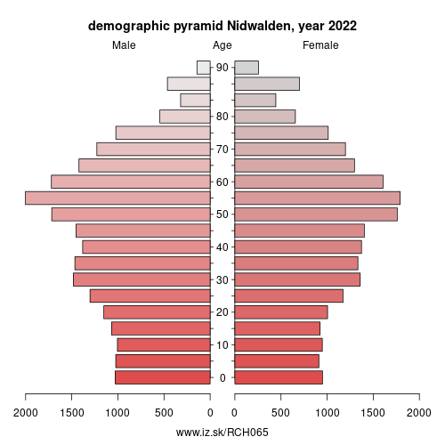
Demographics
| Indicator | Period | Value |
|---|---|---|
| Demographics | ||
| number of inhabitants | 2025 | 45 345 |
| population density | 2024 | 187.5 |
| old-age dependency ratio | 2025 | 36.5 |
From Wikipedia :
Nidwalden, also Nidwald (German: (Kanton) Nidwalden, [ˈnidˌvaldən] (listen)) is one of the 26 cantons forming the Swiss Confederation. It is composed of eleven municipalities and the seat of the government and parliament is in Stans. It is traditionally considered a "half-canton“, the other half being Obwalden.Nidwalden lies in Central Switzerland. It borders the canton of Obwalden to the west, the cantons of Lucerne and Schwyz to the north, the canton of Uri to the east and the canton of Bern to the south. The canton is essentially in the Alps, south of Lake Lucerne.
It is one of the smallest cantons, the population is 40,287 (in 2007). The largest town is Stans, followed by Hergiswil and Buochs.
Together with Obwalden, Nidwalden was part of the forest canton of Unterwalden, one of the three participants in the foundation of the Old Swiss Confederacy, named in the Pact of Brunnen of 1315 with Uri and Schwyz. The division of Unterwalden into two separate territories, Obwalden and Nidwalden, appears to develop over the course of the 14th and 15th centuries.
Other: Central Switzerland, Canton of Zug, Canton of Obwalden, Canton of Schwyz, Canton of Lucerne, Canton of Uri, Canton of Nidwalden
Neighbours: Canton of Uri, Canton of Lucerne, Canton of Schwyz, Canton of Obwalden
Suggested citation: Michal Páleník: Europe and its regions in numbers - Canton of Nidwalden – CH065, IZ Bratislava, retrieved from: https://www.iz.sk/PCH065, ISBN: 978-80-970204-9-1, DOI:10.5281/zenodo.10200164
 Share
Share Facebook
 Twitter
 News
News