Region upper Nitra river
consists of counties:
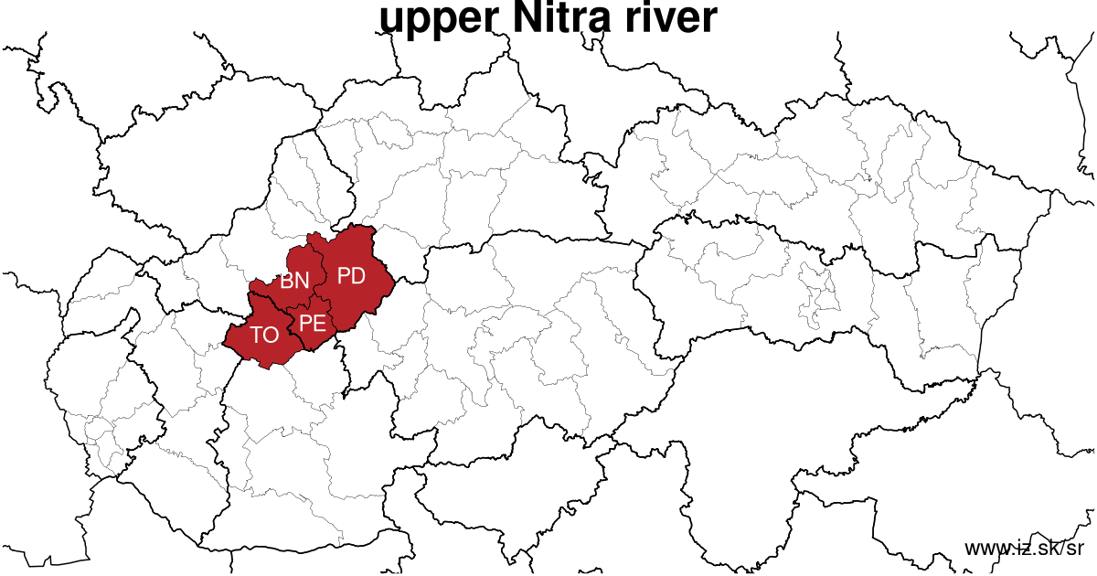
Towns
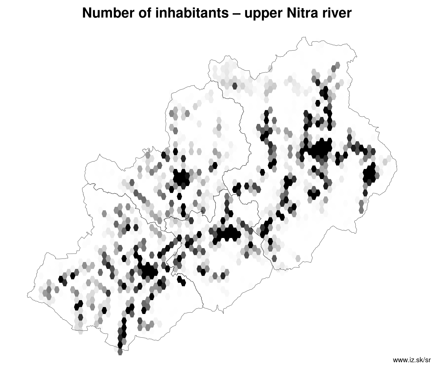
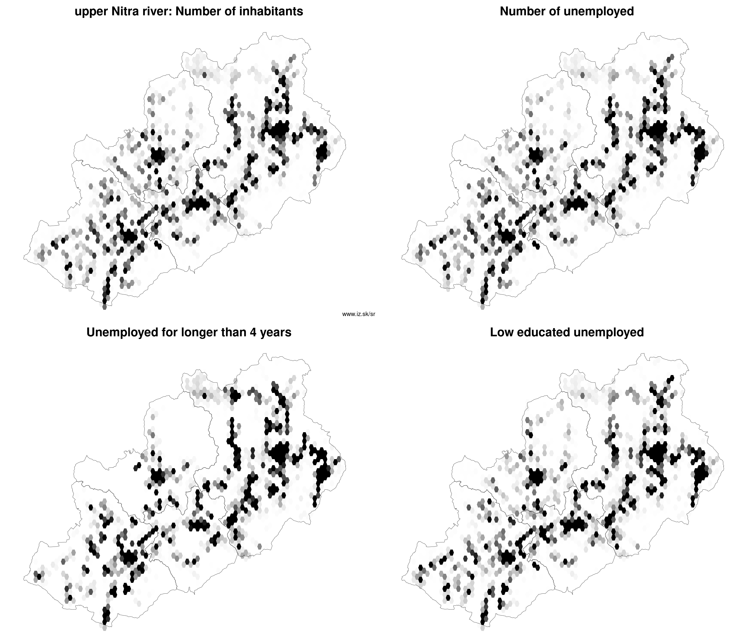
Region upper Nitra river contains cities Bánovce nad Bebravou, Bojnice, Handlová, Nováky, Partizánske, Prievidza, Topoľčany and 165 villages. Statistics on city level on unemployment are for the period of 2026-02-01, for population are fore yar 2025.
name | number of inhabitants in economically active age | number of unemployed number of unemployed women number of long-term unemployed | unemployment rate unemployment rate of women long-term unemployment rate |
|---|---|---|---|
 Prievidza | 41 959 26 953 | 1 283 650 362 | 4.8 % 4.9 % 1.3 % |
 Topoľčany | 23 638 15 221 | 659 368 153 | 4.3 % 4.8 % 1 % |
 Partizánske | 20 096 12 670 | 527 265 104 | 4.2 % 4.2 % 0.8 % |
 Bánovce nad Bebravou | 15 872 10 265 | 344 181 67 | 3.4 % 3.6 % 0.7 % |
 Handlová | 15 289 9 999 | 708 346 270 | 7.1 % 7.1 % 2.7 % |
 Bojnice | 5 049 3 099 | 103 65 25 | 3.3 % 4.2 % 0.8 % |
 Nováky | 4 062 2 660 | 117 60 45 | 4.4 % 4.7 % 1.7 % |
Villages with over 2000 inhabitants are Bošany (3989), Kanianka (3802), Lehota pod Vtáčnikom (3697), Nitrianske Pravno (3077), Chynorany (2661), Solčany (2475), Oslany (2399), Dolné Vestenice (2374), Veľké Ripňany (2094), Nedožery-Brezany (2054).
| villages by number of inhabitants | ||||||
|---|---|---|---|---|---|---|
| total | up to 300 | 300 to 500 | 500 to 1000 | 1000 to 1500 | over 1500 | |
| 165 | 30 | 30 | 50 | 21 | 34 | |
Unemployment
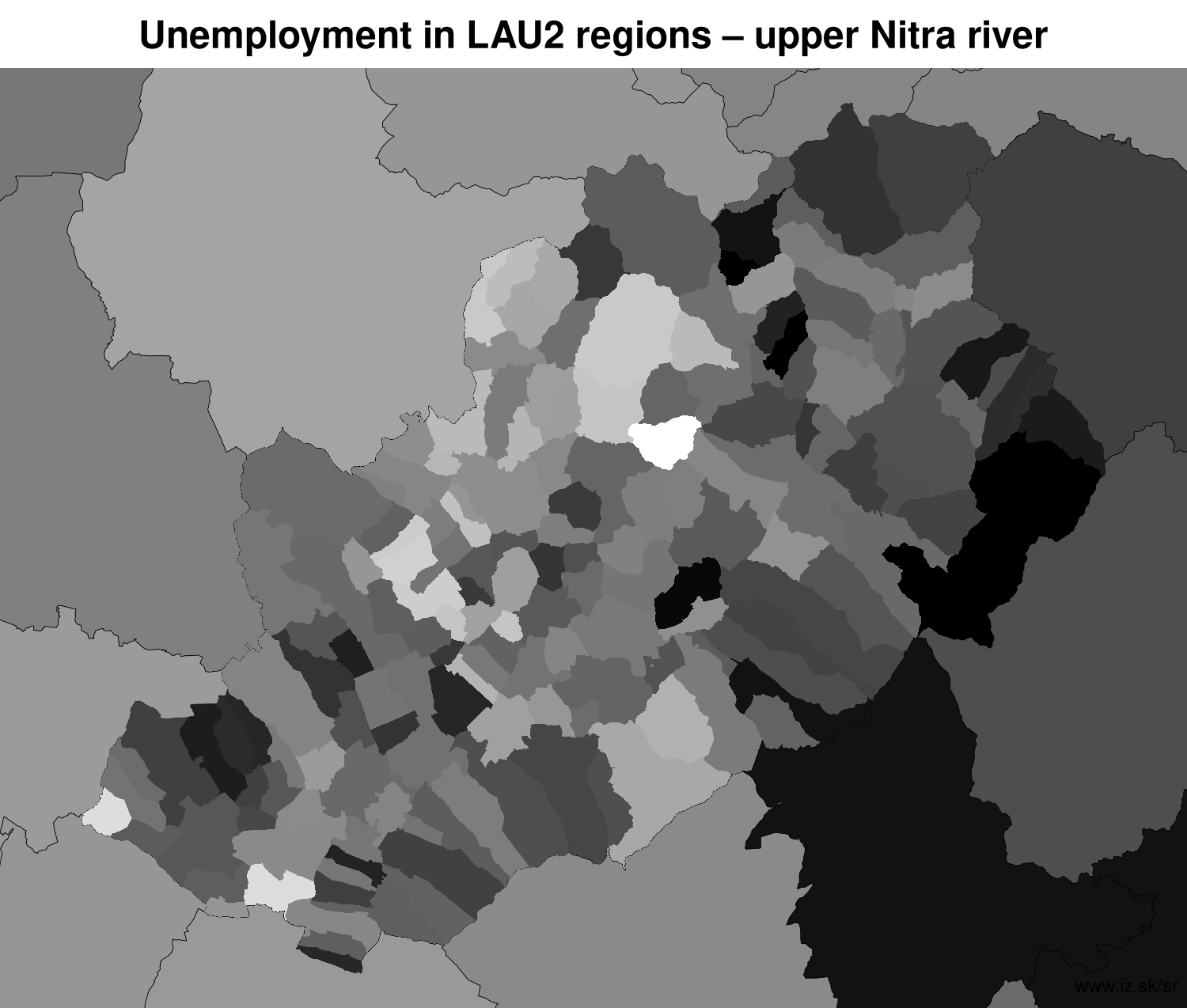
| rok | 2012 | 2014 | 2016 | 2018 | 2019 | 2020 | 2021 | 2022 | 2023 | 2024 | 2025 | 2026 |
|---|---|---|---|---|---|---|---|---|---|---|---|---|
| number of unemployed | 20 222 | 20 117 | 14 191 | 7401 | 6859 | 9361 | 9313 | 7750 | 7160 | 7082 | 7188 | 7629 |
| number of long-term unemployed | 8855 | 9952 | 6452 | 2110 | 1505 | 1924 | 3016 | 2558 | 2140 | 2007 | 1897 | 1955 |
| number of people receiving social benefits | 10 071 | 9040 | 4810 | 2910 | 2509 | 2468 | 2310 | 2459 | 2367 | 2260 | 2191 | 2292 |
| number of activational workers | 739 | 1009 | 590 | 276 | 198 | 160 | 153 | 150 | 48.7 | 115 | 124 | 28.5 |
| unemployment rate | 9.5 | 9.6 | 7 | 3.8 | 3.5 | 4.9 | 5 | 4.2 | 3.9 | 3.9 | 4 | 4.3 |
| long-term unemployment rate | 4.2 | 4.8 | 3.2 | 1.1 | 0.8 | 1.0 | 1.6 | 1.4 | 1.2 | 1.1 | 1.1 | 1.1 |
| vacancies | 289 | 345 | 2311 | 2920 | 3176 | 2550 | 2293 | 3199 | 2566 | 3561 | 3204 | 2871 |
Demographics
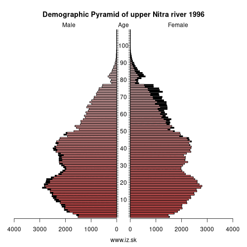
| 2012 | 2014 | 2016 | 2018 | 2019 | 2020 | 2021 | 2022 | 2023 | 2024 | 2025 | 2026 | |
|---|---|---|---|---|---|---|---|---|---|---|---|---|
| number of inhabitants | 293 378 | 291 435 | 289 333 | 286 637 | 285 341 | 283 677 | 280 766 | 278 697 | 276 885 | 275 039 | 273 071 | 273 071 |
| assignation tax | 63 264 280 | 65 905 534 | 78 714 203 | 95 257 795 | 107 205 162 | 110 269 125 | 105 219 817 | 115 815 802 | 128 723 904 | 128 229 179 | 104 858 822 | 112 514 641 |
| demographic dependency | 21.3 | 22.9 | 25.3 | 27.8 | 29.1 | 30.3 | 31.3 | 32.6 | 34 | 35.3 | 36.6 | |
| number of employed foreigners | 410 | 292 | 521 | 991 | 1334 | 1622 | 1523 | 2095 | 2739 | 2976 | 3464 | 3995 |
Number of unemployed
| rok | 2012 | 2014 | 2016 | 2018 | 2019 | 2020 | 2021 | 2022 | 2023 | 2024 | 2025 | 2026 |
|---|---|---|---|---|---|---|---|---|---|---|---|---|
| less than 24 years | 5076 | 3728 | 2017 | 916 | 865 | 1217 | 1080 | 855 | 807 | 814 | 830 | 865 |
| 25 to 39 years | 8249 | 7038 | 4990 | 2597 | 2432 | 3270 | 3092 | 2524 | 2246 | 2159 | 2163 | 2309 |
| 40 to 54 years | 7755 | 6522 | 4811 | 2412 | 2246 | 3083 | 3156 | 2691 | 2526 | 2652 | 2727 | 2890 |
| 55 years and more | 2830 | 2829 | 2372 | 1476 | 1316 | 1791 | 1984 | 1680 | 1581 | 1457 | 1467 | 1661 |
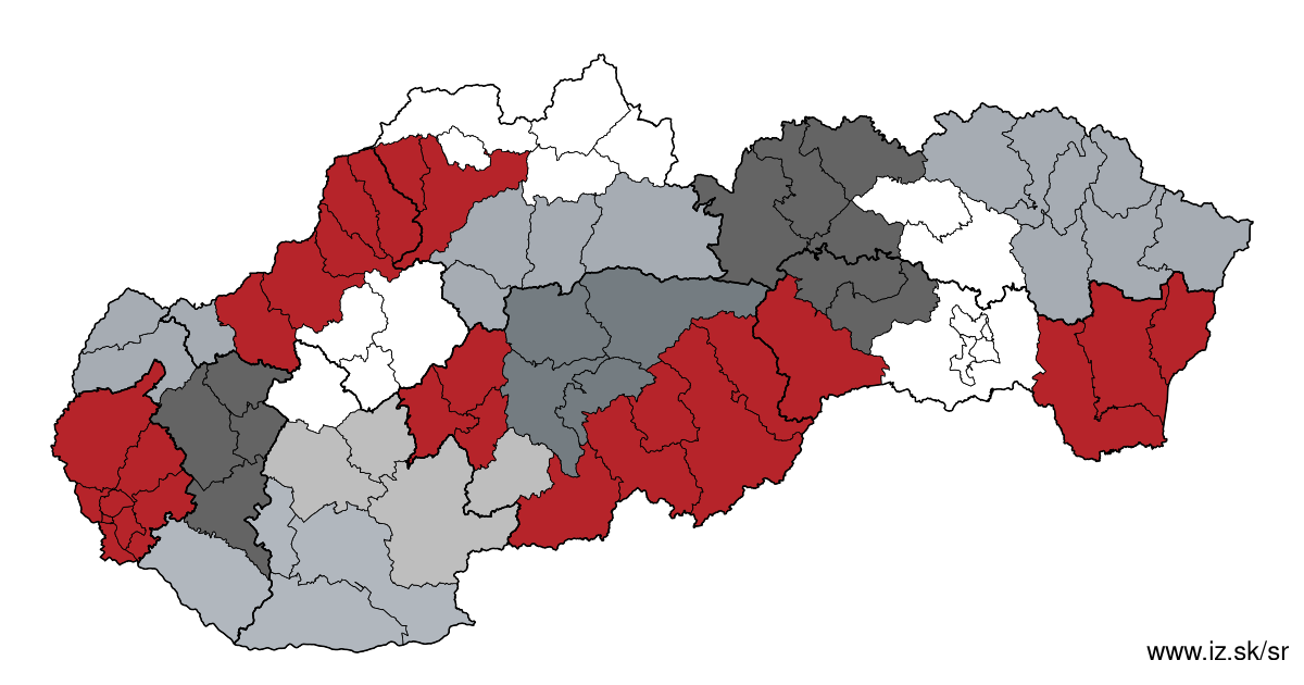
Other regions
- Basic data on Slovak regions
- Labour market indicators of slovak regions.
- Region Bratislava and surroundings
- Region Kopanice
- Region Danube river
- Region lower Vah river
- Region middle Vár river
- Region upper Nitra river
- Region lower Nitra river
- Region Mining cities
- Region Kysuce a Orava
- Region upper Vah river – Liptov
- Region Spiš cities
- Region upper Hron river
- Region Juhoslovenská kotlina
- Region Košice fold and Torysa river
- Region upper Zemplín
- Region lower Zemplín
Suggested citation: Michal Páleník: Regions of Slovakia - Region upper Nitra river, IZ Bratislava, retrieved from: https://www.iz.sk/en/projects/regions-of-slovakia/upper-nitra-river
Regions of the Slovak Republic
Due to the need of analysis we have created regions of Slovakia. We will bring more information about these regions from the macroeconomic point of view as well as from the point of view of the labour market.. . .
 Share
Share Facebook
 Twitter
 News
News