Nord – FRE11
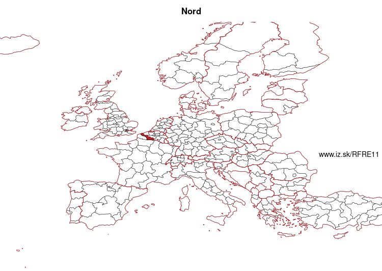
EU regions: France > Hauts-de-France > Nord-Pas-de-Calais > Nord
| Indicator | Period | Value |
|---|---|---|
| Gross domestic product | ||
| GDP per capita in PPS of EU average | 2024 | 82 |
Nord slovensky: FRE11
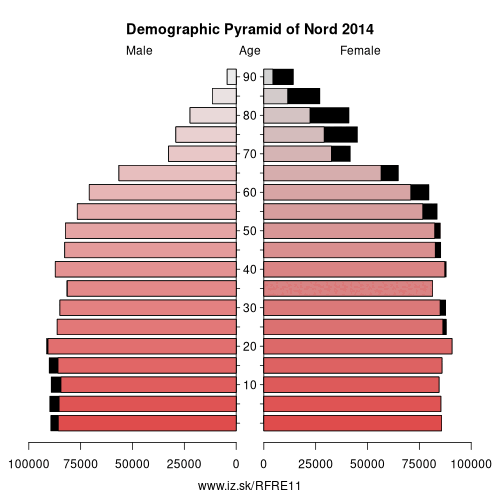
Demographics
| Indicator | Period | Value |
|---|---|---|
| Demographics | ||
| number of inhabitants | 2025 | 2 613 781 |
| population density | 2024 | 456.3 |
| old-age dependency ratio | 2025 | 30.2 |
Other: Nord-Pas-de-Calais, Nord, Pas-de-Calais
Neighbours: Arrondissement of Ath, Somme, Arrondissement of Veurne, Arrondissement of Mouscron, Aisne, Arrondissement of Tournai, Arrondissement of Mons, Arrondissement of Thuin, Arrondissement of Ypres, Pas-de-Calais, Arrondissement of Kortrijk
Suggested citation: Michal Páleník: Europe and its regions in numbers - Nord – FRE11, IZ Bratislava, retrieved from: https://www.iz.sk/PFRE11, ISBN: 978-80-970204-9-1, DOI:10.5281/zenodo.10200164
https://www.iz.sk/en/projects/eu-regions/FRE11
 Share
Share Facebook
 Twitter
 News
News