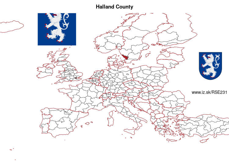
Halland County – SE231
EU regions: Sweden > Southern Sweden > West Sweden > Halland County
| Indicator | Period | Value |
|---|---|---|
| Gross domestic product | ||
| GDP per capita in PPS of EU average | 2024 | 85 |
Halland County slovensky: SE231
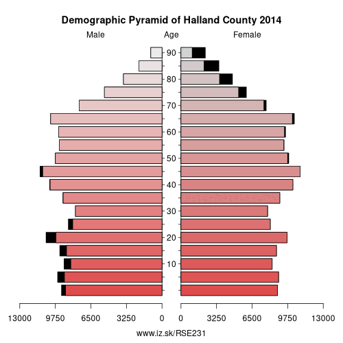
Demographics
| Indicator | Period | Value |
|---|---|---|
| Demographics | ||
| number of inhabitants | 2025 | 345 074 |
| population density | 2024 | 63.5 |
| old-age dependency ratio | 2025 | 38.7 |
From Wikipedia : Aschersleben-Staßfurt was a district in Saxony-Anhalt, Germany until 2007. It was bounded by (from the northeast and clockwise) the districts of Schönebeck, Bernburg, Mansfelder Land, Quedlinburg and Bördekreis.
History
The two districts of Aschersleben and Staßfurt were merged in 1994 in order to form the new district of Aschersleben-Staßfurt. As part of the reform of 2007 the district was disbanded and the area is now part of the Salzlandkreis district except Falkenstein which now is part of the Harz district.
Geography
The southwestern parts of the district are occupied by the foothills of the Harz Mountains. From here the country slopes away to the Saale valley in the east and the Elbe valley in the northeast. Both rivers don't cross the district itself. The two main watercourses are the Bode and the Wipper, both affluents of the Saale.
Apart from the Harz foothills the region is mainly agriculturally used.
Other: West Sweden, Västra Götaland County, Halland County
Neighbours: Västra Götaland County, Kronoberg County, Skåne County, Jönköping County
Suggested citation: Michal Páleník: Europe and its regions in numbers - Halland County – SE231, IZ Bratislava, retrieved from: https://www.iz.sk/PSE231, ISBN: 978-80-970204-9-1, DOI:10.5281/zenodo.10200164
 Share
Share Facebook
 Twitter
 News
News