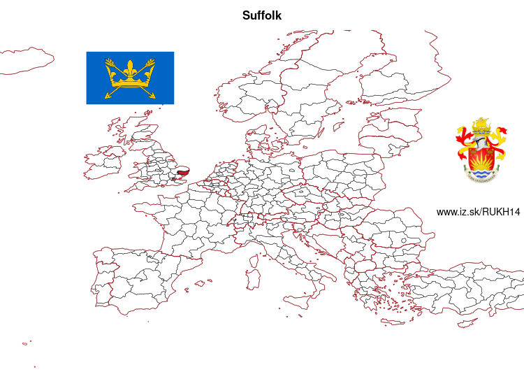
Suffolk – UKH14
EU regions: United Kingdom > East of England > East Anglia > Suffolk
| Indicator | Period | Value |
|---|
Suffolk slovensky: UKH14
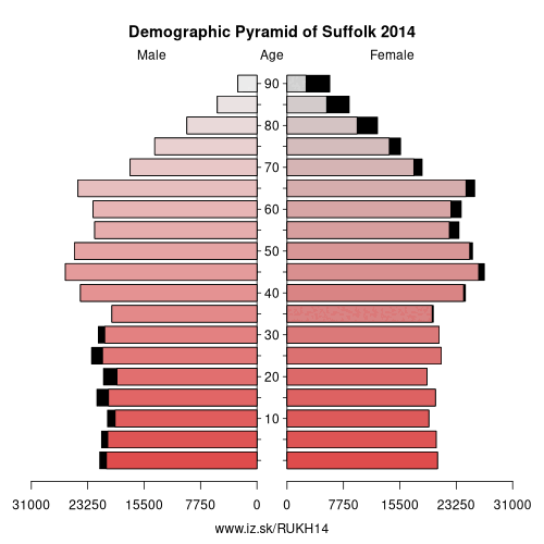
Demographics
| Indicator | Period | Value |
|---|---|---|
| Demographics | ||
| number of inhabitants | 2019 | 760 472 |
| population density | 2018 | 199.8 |
| old-age dependency ratio | 2019 | 39.2 |
From Wikipedia :
Suffolk () is an East Anglian county of historic origin in England. It has borders with Norfolk to the north, Cambridgeshire to the west and Essex to the south. The North Sea lies to the east. The county town is Ipswich; other important towns include Lowestoft, Bury St Edmunds, Newmarket and Felixstowe, one of the largest container ports in Europe.The county is low-lying but it has quite a few hills (especially more to the west), and has largely arable land with the wetlands of the Broads in the north. The Suffolk Coast and Heaths are an Area of Outstanding Natural Beauty.
History
Administration
By the fifth century, the Angles (after whom East Anglia and England are named) had established control of the region. The Angles later became the „north folk" and the „south folk“, from which developed the names „Norfolk" and „Suffolk“. Suffolk and several adjacent areas became the kingdom of East Anglia, which later merged with Mercia and then Wessex.
Suffolk was originally divided into four separate Quarter Sessions divisions. In 1860, the number of divisions was reduced to two.
Other: East Anglia, Norwich and East Norfolk, North and West Norfolk, Suffolk, Peterborough, Cambridgeshire, Breckland and South Norfolk
Neighbours: Essex Haven Gateway, Breckland and South Norfolk, North and West Norfolk, Cambridgeshire, Norwich and East Norfolk
Suggested citation: Michal Páleník: Europe and its regions in numbers - Suffolk – UKH14, IZ Bratislava, retrieved from: https://www.iz.sk/PUKH14, ISBN: 978-80-970204-9-1, DOI:10.5281/zenodo.10200164
 Share
Share Facebook
 Twitter
 News
News