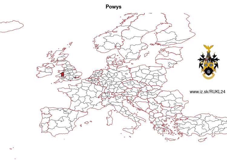
Powys – UKL24
EU regions: United Kingdom > Wales > East Wales > Powys
| Indicator | Period | Value |
|---|
Powys slovensky: UKL24
Demographics
| Indicator | Period | Value |
|---|---|---|
| Demographics | ||
| number of inhabitants | 2019 | 132 093 |
| population density | 2018 | 25.5 |
| old-age dependency ratio | 2019 | 47.9 |
From Wikipedia : Powys (; Welsh: [ˈpowɪs]) is a principal area and county, and one of the preserved counties of Wales. It is named after the Kingdom of Powys which was a Welsh successor state, petty kingdom and principality that emerged during the Middle Ages following the end of Roman rule in Britain.
Geography
- See the list of places in Powys for all towns and villages in Powys.
The majority of the Powys population lives in villages and small towns. The largest towns are Newtown, Ystradgynlais, Brecon, and Welshpool with populations of 11,357, 8,092, 8,250 and 6,664 respectively (2011). Powys has the lowest population density of all the principal areas of Wales. Most of Powys is mountainous making north-south transport difficult.
Just under a third of the residents have Welsh linguistic skills: Welsh speakers are concentrated mainly in the rural areas both in and around Machynlleth, Llanfyllin and Llanrhaeadr-ym-Mochnant (where William Morgan first translated the whole Bible into Welsh in 1588) in Montgomeryshire (Welsh: Sir Drefaldwyn), and the industrial area of Ystradgynlais in the southwest of Brecknockshire (Welsh: Sir Frycheiniog). Radnorshire (Welsh: Sir Faesyfed) was almost completely Anglicised by the end of the 18th century.
Other: East Wales, South Wales, North Wales, Monmouthshire and Newport, Powys
Neighbours: Shropshire, Herefordshire, Conwy and Denbighshire, Gwynedd, Bridgend and Neath Port Talbot, North Wales, Monmouthshire and Newport, Gwent Valleys, Central Valleys, South West Wales
Suggested citation: Michal Páleník: Europe and its regions in numbers - Powys – UKL24, IZ Bratislava, retrieved from: https://www.iz.sk/PUKL24, ISBN: 978-80-970204-9-1, DOI:10.5281/zenodo.10200164
 Share
Share Facebook
 Twitter
 News
News