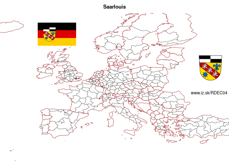
Saarlouis – DEC04
EU regions: Germany > Saarland > Saarland > Saarlouis
| Indicator | Period | Value |
|---|---|---|
| Gross domestic product | ||
| GDP per capita in PPS of EU average | 2023 | 89 |
Saarlouis slovensky: DEC04
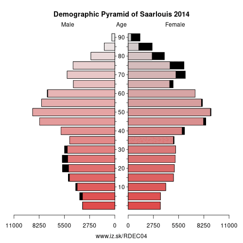
Demographics
| Indicator | Period | Value |
|---|---|---|
| Demographics | ||
| number of inhabitants | 2025 | 205 129 |
| population density | 2024 | 448.9 |
| old-age dependency ratio | 2025 | 42.3 |
Other: Saarland, Neunkirchen, St. Wendel, Regionalverband Saarbrücken, Saarlouis, Merzig-Wadern, Saarpfalz-Kreis
Neighbours: Neunkirchen, Moselle, St. Wendel, Merzig-Wadern, Regionalverband Saarbrücken
Suggested citation: Michal Páleník: Europe and its regions in numbers - Saarlouis – DEC04, IZ Bratislava, retrieved from: https://www.iz.sk/PDEC04, ISBN: 978-80-970204-9-1, DOI:10.5281/zenodo.10200164
https://www.iz.sk/en/projects/eu-regions/DEC04
 Share
Share Facebook
 Twitter
 News
News