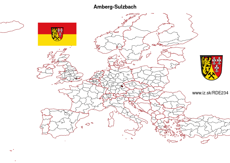
Amberg-Sulzbach – DE234
EU regions: Germany > Bavaria > Upper Palatinate > Amberg-Sulzbach
| Indicator | Period | Value |
|---|---|---|
| Gross domestic product | ||
| GDP per capita in PPS of EU average | 2023 | 81 |
Amberg-Sulzbach slovensky: DE234
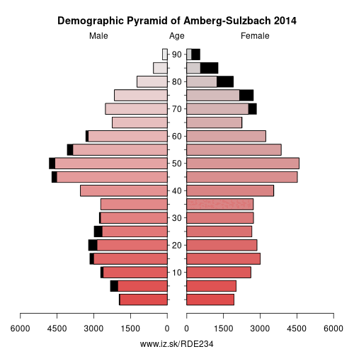
Demographics
| Indicator | Period | Value |
|---|---|---|
| Demographics | ||
| number of inhabitants | 2025 | 103 982 |
| population density | 2024 | 82.9 |
| old-age dependency ratio | 2025 | 37.2 |
From Wikipedia : Amberg-Sulzbach is a Landkreis (district) in Bavaria, Germany. It surrounds but does not include the city of Amberg. It is bounded by (from the north and clockwise) the districts of Neustadt an der Waldnaab, Schwandorf, Neumarkt, Nürnberger Land and Bayreuth.
History
The history is linked with the history of the Upper Palatinate and the city of Amberg.
The district was established in 1972 by merging the former district of Amberg and the district-free city of Sulzbach-Rosenberg (the latter one lost its status as a district-free city in this administrative reform).
Geography
The district is located in the geographical centre of Bavaria, 40 km east of Nuremberg. The main axis of the region is the Vils River (an affluent of the Naab) crossing the district from north to south. West of the river the land rises to the Franconian Jura, while there are gentle hills on the eastern side in the angle between Naab and Vils. The district is mainly covered by forests, especially in its western half.
Other: Upper Palatinate, Regensburg, Weiden in der Oberpfalz, Cham, Neumarkt, Amberg, Amberg-Sulzbach, Schwandorf, Landkreis Neustadt an der Waldnaab, Regensburg, Tirschenreuth
Neighbours: Landkreis Neustadt an der Waldnaab, Amberg, Neumarkt, Schwandorf, Bayreuth, Nürnberger Land
Suggested citation: Michal Páleník: Europe and its regions in numbers - Amberg-Sulzbach – DE234, IZ Bratislava, retrieved from: https://www.iz.sk/PDE234, ISBN: 978-80-970204-9-1, DOI:10.5281/zenodo.10200164
 Share
Share Facebook
 Twitter
 News
News