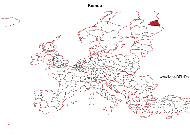
Kainuu – FI1D8
EU regions: Finland > Mainland Finland > Pohjois- ja Itä-Suomi > Kainuu
| Indicator | Period | Value |
|---|---|---|
| Gross domestic product | ||
| GDP per capita in PPS of EU average | 2024 | 82 |
Kainuu slovensky: FI1D8
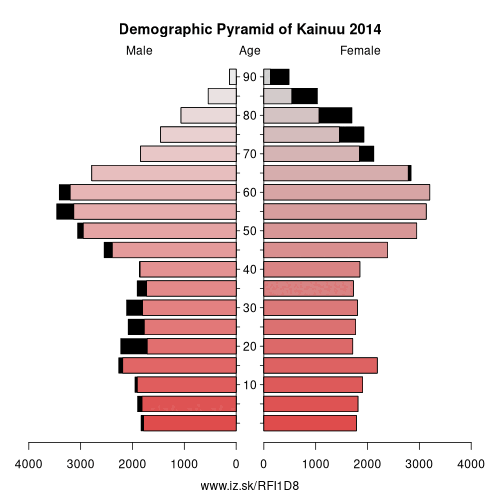
Demographics
| Indicator | Period | Value |
|---|---|---|
| Demographics | ||
| number of inhabitants | 2025 | 69 639 |
| population density | 2024 | 3.4 |
| old-age dependency ratio | 2025 | 55.8 |
From Wikipedia : Kainuu, also historically known as Cajania (Swedish: Kajanaland), is one of the 19 regions of Finland (maakunta / landskap). Kainuu borders the regions of North Ostrobothnia, North Savo and North Karelia. In the east, it also borders Russia (Republic of Karelia).
Culturally Kainuu is part of larger Eastern-Finnish cultural heritage. The dialect of Kainuu resembles Savonian and Karelian dialects.
Geography
Boreal forest makes up most of the biome in Kainuu. The forest in Kainuu mostly consists of birches, pines and spruces. The atypical regional geography and landscape consist of lakes, hills and vast uninhabited forest areas.
The largest lake in the region is the Oulujärvi (928.09 km²), one of the largest lakes in Finland. Its shorelines, open waters and islands in Kainuu belong to the municipalities of Vaala, Paltamo and Kajaani.
Other: Pohjois- ja Itä-Suomi, Kainuu, North Ostrobothnia, Southern Savonia, Central Ostrobothnia, Lapland, North Karelia, Northern Savonia
Neighbours: North Karelia, North Ostrobothnia, Northern Savonia
Suggested citation: Michal Páleník: Europe and its regions in numbers - Kainuu – FI1D8, IZ Bratislava, retrieved from: https://www.iz.sk/PFI1D8, ISBN: 978-80-970204-9-1, DOI:10.5281/zenodo.10200164
 Share
Share Facebook
 Twitter
 News
News