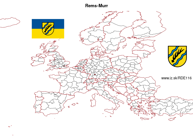
Rems-Murr – DE116
EU regions: Germany > Baden-Württemberg > Stuttgart Government Region > Rems-Murr
| Indicator | Period | Value |
|---|---|---|
| Gross domestic product | ||
| GDP per capita in PPS of EU average | 2023 | 94 |
Rems-Murr slovensky: DE116
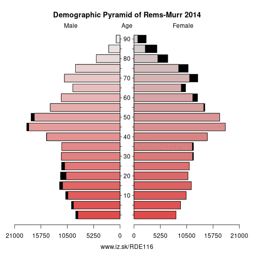
Demographics
| Indicator | Period | Value |
|---|---|---|
| Demographics | ||
| number of inhabitants | 2025 | 440 696 |
| population density | 2024 | 513.3 |
| old-age dependency ratio | 2025 | 35 |
From Wikipedia : Rems-Murr is a Landkreis (district) in the middle of Baden-Württemberg, Germany. Neighboring districts are (from north clockwise) Heilbronn, Schwäbisch Hall, Ostalbkreis, Göppingen, Esslingen, the district-free city Stuttgart and the district Ludwigsburg.
History
The district was created in 1973, when the district Waiblingen was merged with most of the district Backnang and few municipalities from the district Schwäbisch Gmünd.
Geography
The biggest part of the district is located in the Swabian-Franconian Forest (Schwäbisch-Fränkischer Wald), of which the Mainhardt Forest forms a part. The two rivers Rems and Murr gave the district its name.
Other: Stuttgart Government Region, Heilbronn, Main-Tauber-Kreis, Esslingen, Böblingen district, Göppingen, district Heidenheim, Rems-Murr, Ludwigsburg District, Landkreis Schwäbisch Hall, Stuttgart, Heilbronn, Hohenlohe, Ostalbkreis
Neighbours: Stuttgart, Landkreis Schwäbisch Hall, Heilbronn, Ludwigsburg District, Göppingen, Ostalbkreis, Esslingen
Suggested citation: Michal Páleník: Europe and its regions in numbers - Rems-Murr – DE116, IZ Bratislava, retrieved from: https://www.iz.sk/PDE116, ISBN: 978-80-970204-9-1, DOI:10.5281/zenodo.10200164
 Share
Share Facebook
 Twitter
 News
News