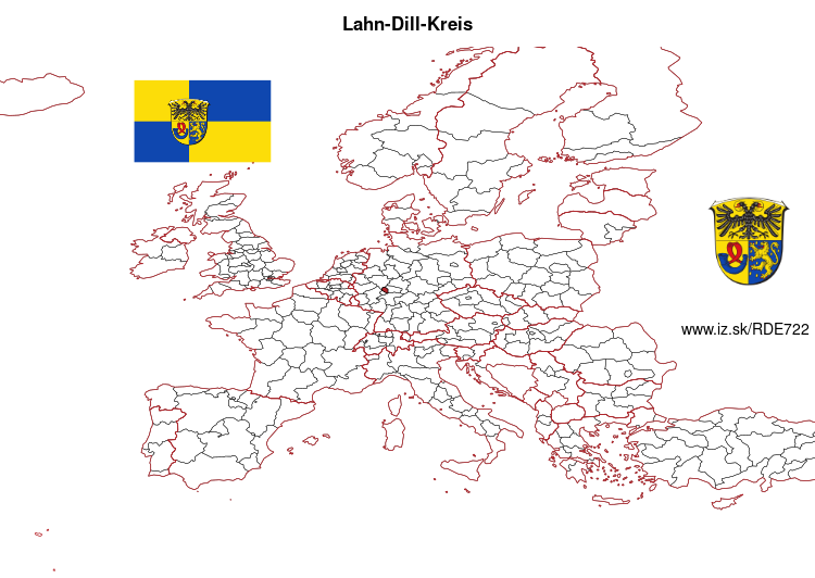
Lahn-Dill-Kreis – DE722
EU regions: Germany > Hesse > Giessen Government Region > Lahn-Dill-Kreis
| Indicator | Period | Value |
|---|---|---|
| Gross domestic product | ||
| GDP per capita in PPS of EU average | 2023 | 100 |
Lahn-Dill-Kreis slovensky: DE722
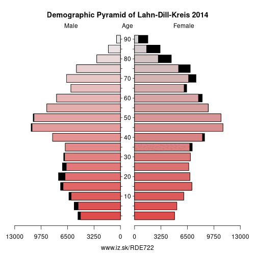
Demographics
| Indicator | Period | Value |
|---|---|---|
| Demographics | ||
| number of inhabitants | 2025 | 254 074 |
| population density | 2024 | 238.7 |
| old-age dependency ratio | 2025 | 37.3 |
From Wikipedia : Lahn-Dill is a Kreis (district) in the west of Hesse, Germany. Neighboring districts are Siegen-Wittgenstein, Marburg-Biedenkopf, Gießen, Wetteraukreis, Hochtaunuskreis, Limburg-Weilburg, Westerwaldkreis.
History
In 1977 the district Gießen was merged with the districts Wetzlar and Dillkreis to the new Lahn-Dill-Kreis. However this big district wasn't popular, so in 1979 Gießen was split from it.
Geography
The main rivers of the district are the Lahn and the Dill, which also gave it the name. It is mountain landscape with the Westerwald in the west, the Taunus in the south, the Lahn-Dill-Bergland in the east and the Rothaargebirge of the Sauerland in the north. The highest elevation with 671 m is near Rittershausen (part of Dietzhölztal), the lowest with 135 is in the Lahn valley in Biskirchen (part of the town of Leun).
Other: Giessen Government Region, Gießen, Marburg-Biedenkopf, Vogelsbergkreis, Limburg-Weilburg, Lahn-Dill-Kreis
Neighbours: Westerwaldkreis, Wetteraukreis, Marburg-Biedenkopf, Limburg-Weilburg, Gießen, Siegen-Wittgenstein, Hochtaunuskreis
Suggested citation: Michal Páleník: Europe and its regions in numbers - Lahn-Dill-Kreis – DE722, IZ Bratislava, retrieved from: https://www.iz.sk/PDE722, ISBN: 978-80-970204-9-1, DOI:10.5281/zenodo.10200164
 Share
Share Facebook
 Twitter
 News
News