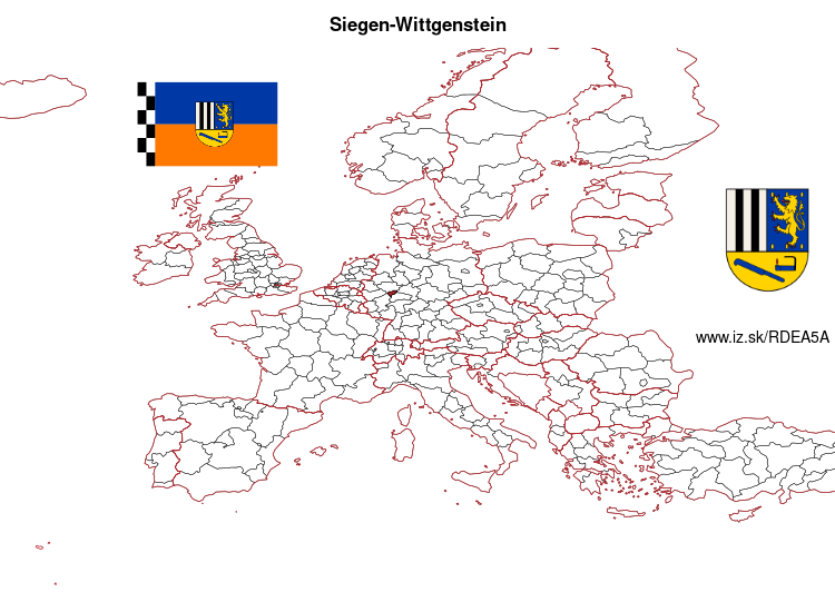
Siegen-Wittgenstein – DEA5A
EU regions: Germany > North Rhine-Westphalia > Arnsberg Government Region > Siegen-Wittgenstein
| Indicator | Period | Value |
|---|---|---|
| Gross domestic product | ||
| GDP per capita in PPS of EU average | 2023 | 107 |
Siegen-Wittgenstein slovensky: DEA5A
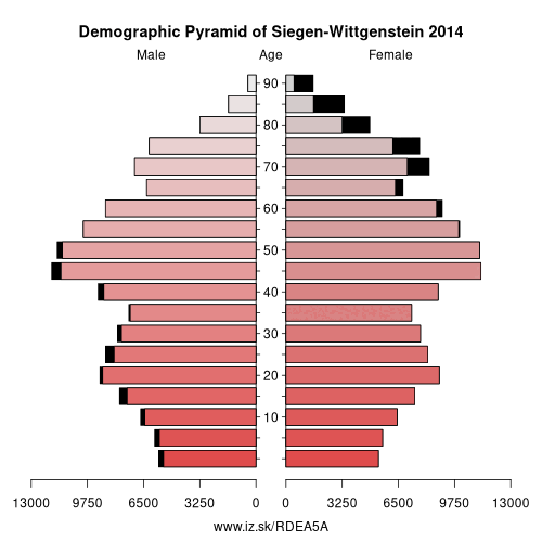
Demographics
| Indicator | Period | Value |
|---|---|---|
| Demographics | ||
| number of inhabitants | 2025 | 274 074 |
| population density | 2024 | 242.5 |
| old-age dependency ratio | 2025 | 36.2 |
From Wikipedia : Siegen-Wittgenstein is a Kreis (district) in the southeast of North Rhine-Westphalia, Germany. Neighboring districts are Olpe, Hochsauerlandkreis, Waldeck-Frankenberg, Marburg-Biedenkopf, Lahn-Dill, Westerwaldkreis, and Altenkirchen.
History
In 1816–1817, the two districts of Siegen and Wittgenstein were created as parts of the Prussian province of Westphalia. In 1974, the two districts were merged, and in 1984 the name Siegen-Wittgenstein was adopted.
Geography
Geographically, it covers the hills southeast of the Sauerland hills, the Siegerland and Wittgensteiner Land.
Coat of arms
The two upper sections show, to the right, the arms of the Dukes of Nassau, who founded Siegen, and to the left, those of the Counts of Sayn-Wittgenstein. At the bottom a miner's lamp and a coppicing hook are depicted, in reference to the mining and charcoal-burning history of the district.
Other: Arnsberg Government Region, Hochsauerlandkreis, Märkischer Kreis, Soest, Kreis Olpe, Siegen-Wittgenstein, Dortmund, Hamm, Unna, Hagen, Herne, Ennepe-Ruhr-Kreis, Bochum
Neighbours: Altenkirchen district, Kreis Olpe, Westerwaldkreis, Marburg-Biedenkopf, Waldeck-Frankenberg, Lahn-Dill-Kreis, Hochsauerlandkreis
Suggested citation: Michal Páleník: Europe and its regions in numbers - Siegen-Wittgenstein – DEA5A, IZ Bratislava, retrieved from: https://www.iz.sk/PDEA5A, ISBN: 978-80-970204-9-1, DOI:10.5281/zenodo.10200164
 Share
Share Facebook
 Twitter
 News
News