Hamm – DEA54
EU regions: Germany > North Rhine-Westphalia > Arnsberg Government Region > Hamm
| Indicator | Period | Value |
|---|---|---|
| Gross domestic product | ||
| GDP per capita in PPS of EU average | 2023 | 85 |
Hamm slovensky: DEA54
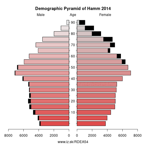
Demographics
| Indicator | Period | Value |
|---|---|---|
| Demographics | ||
| number of inhabitants | 2025 | 179 968 |
| population density | 2024 | 795 |
| old-age dependency ratio | 2025 | 34.1 |
From Wikipedia :
Hamm (German pronunciation: [ˈham] (listen), Latin: Hammona) is a city in North Rhine-Westphalia, Germany. It is located in the northeastern part of the Ruhr area. As of 2016 its population was 179,397. The city is situated between the A1 motorway and A2 motorway. Hamm railway station is an important hub for rail transport and renowned for its distinctive station building.History
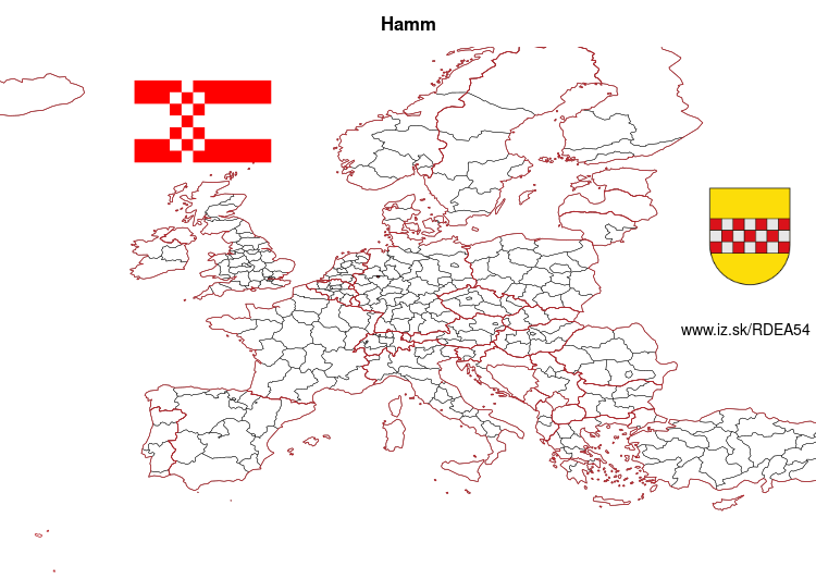
Coat of arms
The coat of arms has been in use in its present form for about 750 years. It shows the markish chessboard ("märkischen Schachbalken") in red and silver on a golden field. Originally it was the founders' coat of arms, i. e. the Counts of Mark.
Other: Arnsberg Government Region, Soest, Ennepe-Ruhr-Kreis, Hochsauerlandkreis, Kreis Olpe, Siegen-Wittgenstein, Dortmund, Hamm, Unna, Hagen, Herne, Märkischer Kreis, Bochum
Neighbours: Unna, Soest, Warendorf District, Coesfeld
Suggested citation: Michal Páleník: Europe and its regions in numbers - Hamm – DEA54, IZ Bratislava, retrieved from: https://www.iz.sk/PDEA54, ISBN: 978-80-970204-9-1, DOI:10.5281/zenodo.10200164
 Share
Share Facebook
 Twitter
 News
News