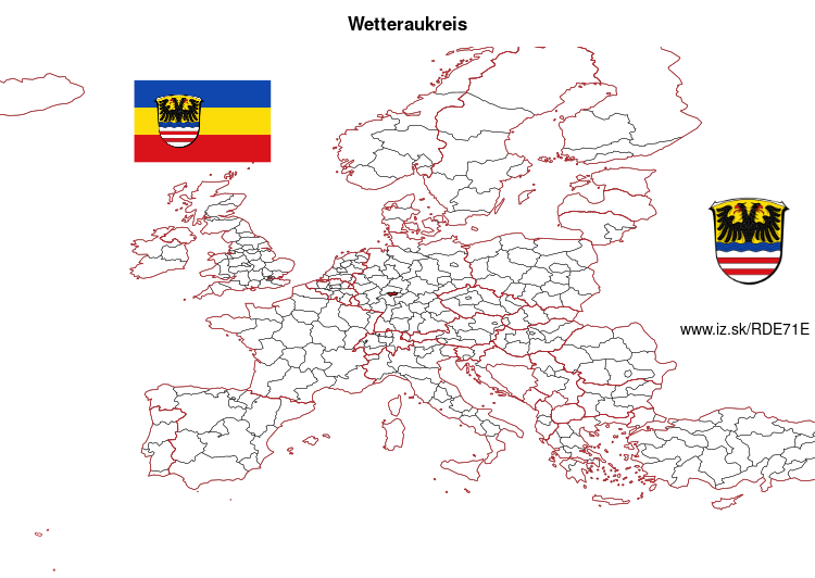
Wetteraukreis – DE71E
EU regions: Germany > Hesse > Darmstadt Government Region > Wetteraukreis
| Indicator | Period | Value |
|---|---|---|
| Gross domestic product | ||
| GDP per capita in PPS of EU average | 2023 | 85 |
Wetteraukreis slovensky: DE71E
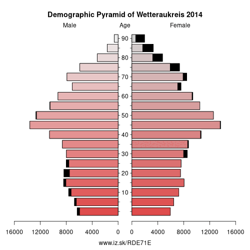
Demographics
| Indicator | Period | Value |
|---|---|---|
| Demographics | ||
| number of inhabitants | 2025 | 311 593 |
| population density | 2024 | 282.9 |
| old-age dependency ratio | 2025 | 35.7 |
From Wikipedia : The Wetteraukreis is a Kreis (district) in the middle of Hesse, Germany. Neighbouring districts are Landkreis Gießen, Vogelsbergkreis, Main-Kinzig-Kreis, district-free Stadt Frankfurt, Hochtaunuskreis and Lahn-Dill-Kreis.
History
The district was created in 1972 when the two districts Friedberg and Büdingen were merged.
Geography
The district is located between the Taunus mountains and the Vogelsberg volcanic mountain. The main rivers of the district are the Nidda River and the Wetter River.
Other: Darmstadt Government Region, Darmstadt-Dieburg, Hochtaunuskreis, Main-Kinzig-Kreis, Offenbach, Odenwald, Darmstadt, Wiesbaden, Groß-Gerau, Main-Taunus-Kreis, Landkreis Bergstraße, Rheingau-Taunus-Kreis, Frankfurt, Offenbach am Main, Wetteraukreis
Neighbours: Main-Kinzig-Kreis, Gießen, Lahn-Dill-Kreis, Hochtaunuskreis, Vogelsbergkreis, Frankfurt
Suggested citation: Michal Páleník: Europe and its regions in numbers - Wetteraukreis – DE71E, IZ Bratislava, retrieved from: https://www.iz.sk/PDE71E, ISBN: 978-80-970204-9-1, DOI:10.5281/zenodo.10200164
 Share
Share Facebook
 Twitter
 News
News