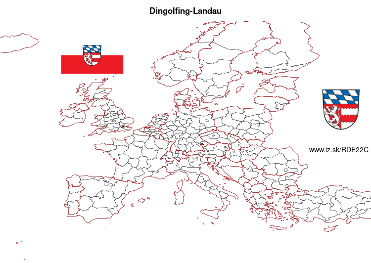
Dingolfing-Landau – DE22C
EU regions: Germany > Bavaria > Lower Bavaria > Dingolfing-Landau
| Indicator | Period | Value |
|---|---|---|
| Gross domestic product | ||
| GDP per capita in PPS of EU average | 2023 | 175 |
Dingolfing-Landau slovensky: DE22C
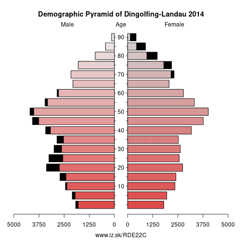
Demographics
| Indicator | Period | Value |
|---|---|---|
| Demographics | ||
| number of inhabitants | 2025 | 101 035 |
| population density | 2024 | 115.7 |
| old-age dependency ratio | 2025 | 31.5 |
From Wikipedia : Dingolfing-Landau is a Landkreis (district) in Bavaria, Germany. It is bounded by (from the north and clockwise) the districts of Straubing-Bogen, Deggendorf, Rottal-Inn and Landshut.
History
The district was established in 1972 by merging the former districts of Dingolfing and Landau (Isar). Its original name was Untere Isar ("Lower Isar"), but in 1973 it was renamed and got its present name.
Geography
The region is characterised by very plain countryside and several rivers running from southwest to northeast (towards the Danube). Most important rivers of the district are the Isar and the Vils.
Economy
The whole region depends on the automobile industry. At Dingolfing, you can find the largest BMW-Industry complex in the world.
Other: Lower Bavaria, Deggendorf, Landshut, Regen, Rottal-Inn, Dingolfing-Landau, Straubing, Kelheim, Passau, Freyung-Grafenau, Straubing-Bogen, Passau, Landshut
Neighbours: Straubing-Bogen, Rottal-Inn, Landshut, Deggendorf
Suggested citation: Michal Páleník: Europe and its regions in numbers - Dingolfing-Landau – DE22C, IZ Bratislava, retrieved from: https://www.iz.sk/PDE22C, ISBN: 978-80-970204-9-1, DOI:10.5281/zenodo.10200164
 Share
Share Facebook
 Twitter
 News
News