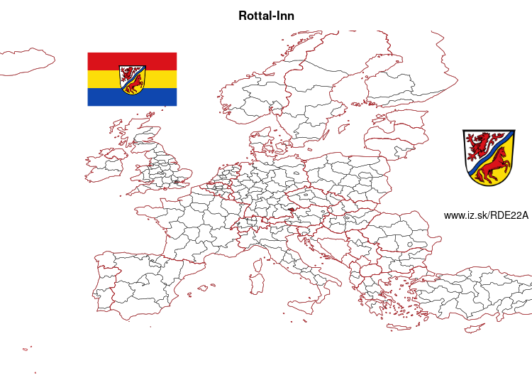
Rottal-Inn – DE22A
EU regions: Germany > Bavaria > Lower Bavaria > Rottal-Inn
| Indicator | Period | Value |
|---|---|---|
| Gross domestic product | ||
| GDP per capita in PPS of EU average | 2023 | 104 |
Rottal-Inn slovensky: DE22A
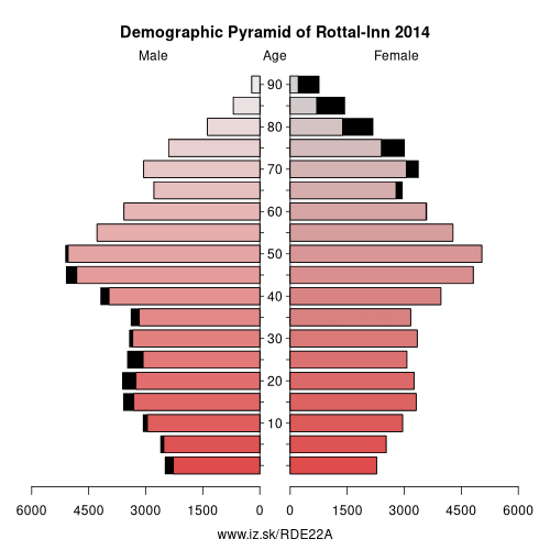
Demographics
| Indicator | Period | Value |
|---|---|---|
| Demographics | ||
| number of inhabitants | 2025 | 120 497 |
| population density | 2024 | 94.5 |
| old-age dependency ratio | 2025 | 37.4 |
From Wikipedia : Rottal-Inn is a Landkreis (district) in the southeastern part of Bavaria, Germany. Neighboring districts are (from the south clockwise) Altötting, Mühldorf, Landshut, Dingolfing-Landau and Passau. To the southeast is the Austrian state Upper Austria (Braunau).
Geography
The main rivers in the district are the Inn and its tributary, the Rott.
History
The district was created in 1972 by merging the two previous districts Pfarrkirchen and Eggenfelden and parts of the districts Griesbach and Vilsbiburg.
Other: Lower Bavaria, Rottal-Inn, Deggendorf, Landshut, Regen, Dingolfing-Landau, Straubing, Kelheim, Passau, Freyung-Grafenau, Straubing-Bogen, Passau, Landshut
Neighbours: Landshut, Passau, Deggendorf, Landkreis Mühldorf am Inn, Innviertel, Dingolfing-Landau, Altötting county
Suggested citation: Michal Páleník: Europe and its regions in numbers - Rottal-Inn – DE22A, IZ Bratislava, retrieved from: https://www.iz.sk/PDE22A, ISBN: 978-80-970204-9-1, DOI:10.5281/zenodo.10200164
 Share
Share Facebook
 Twitter
 News
News