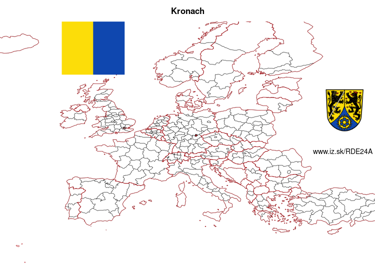
Kronach – DE24A
EU regions: Germany > Bavaria > Upper Franconia > Kronach
| Indicator | Period | Value |
|---|---|---|
| Gross domestic product | ||
| GDP per capita in PPS of EU average | 2023 | 97 |
Kronach slovensky: DE24A
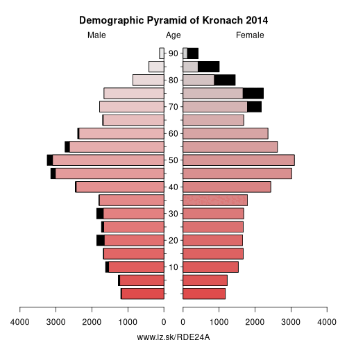
Demographics
| Indicator | Period | Value |
|---|---|---|
| Demographics | ||
| number of inhabitants | 2025 | 64 545 |
| population density | 2024 | 99.5 |
| old-age dependency ratio | 2025 | 42.8 |
Other: Upper Franconia, Lichtenfels, Coburg, Bayreuth, Forchheim District, Bamberg, Hof, Hof, Kulmbach, Kronach, Bamberg Rural District, Coburg, Bayreuth, Wunsiedel
Neighbours: Coburg, Kulmbach, Landkreis Saalfeld-Rudolstadt, Sonneberg, Saale-Orla-Kreis, Lichtenfels, Hof
Suggested citation: Michal Páleník: Europe and its regions in numbers - Kronach – DE24A, IZ Bratislava, retrieved from: https://www.iz.sk/PDE24A, ISBN: 978-80-970204-9-1, DOI:10.5281/zenodo.10200164
https://www.iz.sk/en/projects/eu-regions/DE24A
 Share
Share Facebook
 Twitter
 News
News