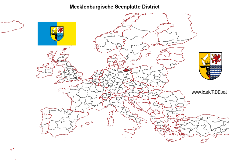
Mecklenburgische Seenplatte District – DE80J
EU regions: Germany > Mecklenburg-Vorpommern > Mecklenburg-Vorpommern > Mecklenburgische Seenplatte District
| Indicator | Period | Value |
|---|---|---|
| Gross domestic product | ||
| GDP per capita in PPS of EU average | 2023 | 88 |
Mecklenburgische Seenplatte District slovensky: DE80J
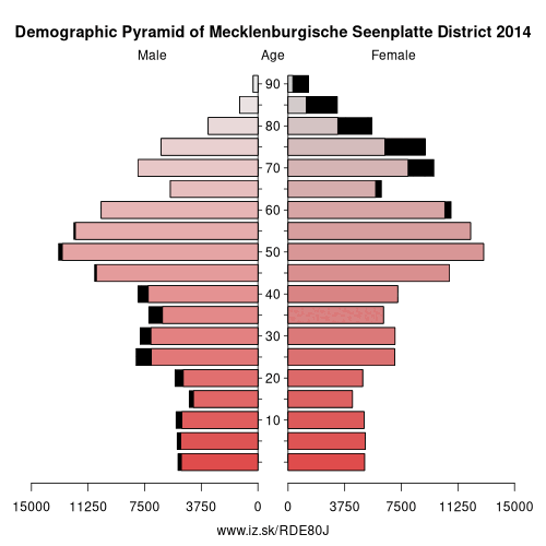
Demographics
| Indicator | Period | Value |
|---|---|---|
| Demographics | ||
| number of inhabitants | 2025 | 246 318 |
| population density | 2024 | 48.2 |
| old-age dependency ratio | 2025 | 51.6 |
Other: Mecklenburg-Vorpommern, Mecklenburgische Seenplatte District, Western Pomerania-Rügen District, Nordwestmecklenburg District, Rostock, Schwerin, Rostock District, Vorpommern-Greifswald District, Ludwigslust-Parchim District
Neighbours: Oberhavel District, Uckermark District, Vorpommern-Greifswald District, Western Pomerania-Rügen District, Ostprignitz-Ruppin District, Ludwigslust-Parchim District, Rostock District
Suggested citation: Michal Páleník: Europe and its regions in numbers - Mecklenburgische Seenplatte District – DE80J, IZ Bratislava, retrieved from: https://www.iz.sk/PDE80J, ISBN: 978-80-970204-9-1, DOI:10.5281/zenodo.10200164
 Share
Share Facebook
 Twitter
 News
News