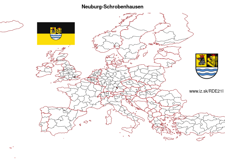
Neuburg-Schrobenhausen – DE21I
EU regions: Germany > Bavaria > Upper Bavaria > Neuburg-Schrobenhausen
| Indicator | Period | Value |
|---|---|---|
| Gross domestic product | ||
| GDP per capita in PPS of EU average | 2023 | 102 |
Neuburg-Schrobenhausen slovensky: DE21I
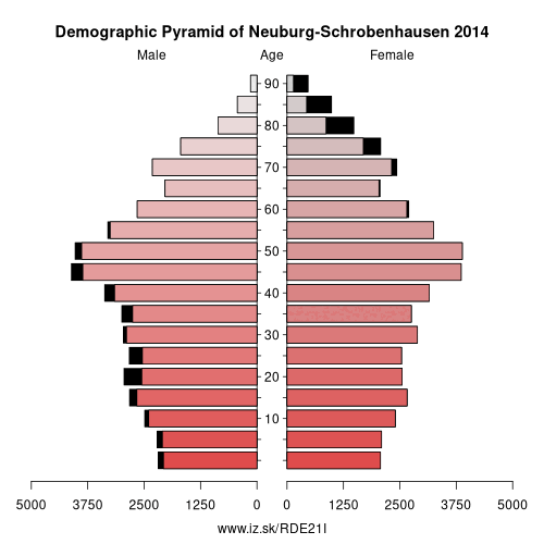
Demographics
| Indicator | Period | Value |
|---|---|---|
| Demographics | ||
| number of inhabitants | 2025 | 99 364 |
| population density | 2024 | 135.5 |
| old-age dependency ratio | 2025 | 32.6 |
From Wikipedia : Neuburg-Schrobenhausen is a Landkreis (district) in Bavaria, Germany. It is bounded by (from the east and clockwise) the districts of Pfaffenhofen, Aichach-Friedberg, Donau-Ries and Eichstätt, and by the city of Ingolstadt.
History
The district was established in 1972 by merging the former districts of Neuburg and Schrobenhausen.
Geography
The district consists of the previously swampy areas between the Danube and Paar rivers, that are called the Donaumoos. North of the Danube the district includes a small part of the Altmühl Valley Nature Park.
Other: Upper Bavaria, Rosenheim, Starnberg, Ingolstadt, Munich, Landkreis Landsberg am Lech, Landkreis Mühldorf am Inn, Munich, Neuburg-Schrobenhausen, Traunstein, Weilheim-Schongau, Altötting county, Berchtesgadener Land, Dachau, Eichstätt district, Erding, Fürstenfeldbruck, Ebersberg, Freising, Garmisch-Partenkirchen, Bad Tölz-Wolfratshausen, Miesbach, Landkreis Pfaffenhofen an der Ilm, Rosenheim
Neighbours: Landkreis Pfaffenhofen an der Ilm, Ingolstadt, Aichach-Friedberg, Donau-Ries, Eichstätt district
Suggested citation: Michal Páleník: Europe and its regions in numbers - Neuburg-Schrobenhausen – DE21I, IZ Bratislava, retrieved from: https://www.iz.sk/PDE21I, ISBN: 978-80-970204-9-1, DOI:10.5281/zenodo.10200164
 Share
Share Facebook
 Twitter
 News
News