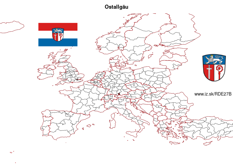
Ostallgäu – DE27B
EU regions: Germany > Bavaria > Swabia > Ostallgäu
| Indicator | Period | Value |
|---|---|---|
| Gross domestic product | ||
| GDP per capita in PPS of EU average | 2023 | 111 |
Ostallgäu slovensky: DE27B
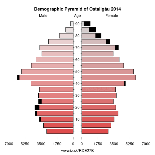
Demographics
| Indicator | Period | Value |
|---|---|---|
| Demographics | ||
| number of inhabitants | 2025 | 142 047 |
| population density | 2024 | 103.3 |
| old-age dependency ratio | 2025 | 36.3 |
From Wikipedia : Ostallgäu is a Landkreis (district) in Swabia, Bavaria, Germany. It is bounded by (from the west and clockwise) the districts of Oberallgäu, Unterallgäu, Augsburg, Landsberg, Weilheim-Schongau and Garmisch-Partenkirchen, and by the Austrian state of Tyrol. The town of Kaufbeuren is enclosed by but does not belong to the district.
History
Before 1803 the region was split into several tiny states, most of them clerical states. When these states were dissolved in 1803, the Ostallgäu region became part of Bavaria. The kings of Bavaria soon evolved a special relationship with the region and built their famous castles of Hohenschwangau and Neuschwanstein there.
The district was established in 1972 by merging the former districts of Kaufbeuren, Marktoberdorf and Füssen.
Geography
"Ostallgäu" literally means „Eastern Allgäu“. The term Allgäu is applied to the part of the Alps located in Swabia and their northern foothills.
The district extends from the crest of the Alps to hilly countryside in the north.
Other: Swabia, Memmingen, Ostallgäu, Unterallgäu, Augsburg, Kempten (Allgäu), Landkreis Dillingen an der Donau, Donau-Ries, Oberallgäu, Aichach-Friedberg, Augsburg, Lindau, Neu-Ulm, Kaufbeuren, Günzburg
Neighbours: Oberallgäu, Unterallgäu, Kaufbeuren, Landkreis Landsberg am Lech, Garmisch-Partenkirchen, Reutte district, Augsburg, Weilheim-Schongau
Suggested citation: Michal Páleník: Europe and its regions in numbers - Ostallgäu – DE27B, IZ Bratislava, retrieved from: https://www.iz.sk/PDE27B, ISBN: 978-80-970204-9-1, DOI:10.5281/zenodo.10200164
 Share
Share Facebook
 Twitter
 News
News