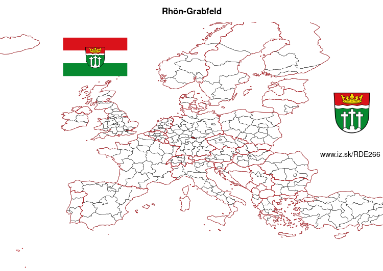
Rhön-Grabfeld – DE266
EU regions: Germany > Bavaria > Lower Franconia > Rhön-Grabfeld
| Indicator | Period | Value |
|---|---|---|
| Gross domestic product | ||
| GDP per capita in PPS of EU average | 2023 | 119 |
Rhön-Grabfeld slovensky: DE266
Demographics
| Indicator | Period | Value |
|---|---|---|
| Demographics | ||
| number of inhabitants | 2025 | 79 375 |
| population density | 2024 | 77.7 |
| old-age dependency ratio | 2025 | 40.1 |

From Wikipedia : Rhön-Grabfeld is a Landkreis (district) in Bavaria, Germany. It is bounded by (from the southeast and clockwise) the districts of Hassberge, Schweinfurt and Bad Kissingen, and the states of Hesse (district Fulda) and Thuringia (districts Schmalkalden-Meiningen and Hildburghausen).
History
In medieval times the region was a part of the Bishopric of Würzburg. When the clerical states of Germany were dissolved in 1803, it fell to Bavaria. The district of Rhön-Grabfeld was established in 1972, when the former districts of Bad Neustadt, Königshofen and Mellrichstadt were merged.
Geography
The district consists of two distinct areas: The eastern parts of the Rhön mountains and the Bavarian portion of Grabfeld.
Grabfeld is a fertile region south of the Rhön mountains. Literally it means „digfield“. According to local legend a queen once lost her beloved ring in the Grabfeld. She ordered her servants to dig up the whole area.
Other: Lower Franconia, Schweinfurt, Bad Kissingen district, Main-Spessart, Aschaffenburg district, Rhön-Grabfeld, Würzburg, Würzburg, Kitzingen, Miltenberg, Haßberge, Aschaffenburg, Schweinfurt
Neighbours: Hildburghausen, Fulda, Haßberge, Schmalkalden-Meiningen, Bad Kissingen district, Schweinfurt
Suggested citation: Michal Páleník: Europe and its regions in numbers - Rhön-Grabfeld – DE266, IZ Bratislava, retrieved from: https://www.iz.sk/PDE266, ISBN: 978-80-970204-9-1, DOI:10.5281/zenodo.10200164
 Share
Share Facebook
 Twitter
 News
News