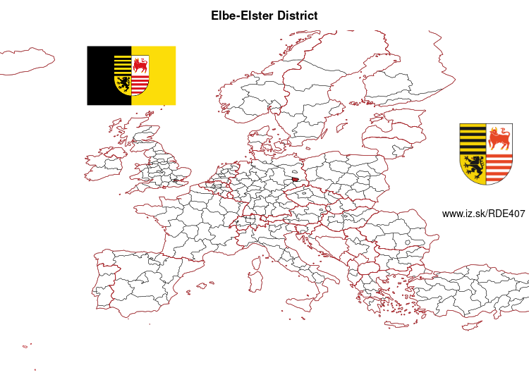
Elbe-Elster District – DE407
EU regions: Germany > Brandenburg > Brandenburg > Elbe-Elster District
| Indicator | Period | Value |
|---|---|---|
| Gross domestic product | ||
| GDP per capita in PPS of EU average | 2023 | 76 |
Elbe-Elster District slovensky: DE407
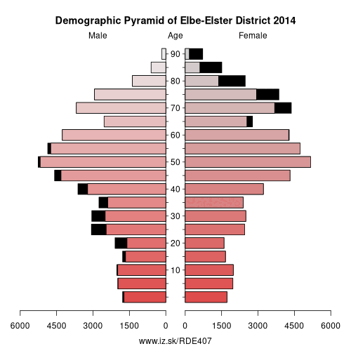
Demographics
| Indicator | Period | Value |
|---|---|---|
| Demographics | ||
| number of inhabitants | 2025 | 97 967 |
| population density | 2024 | 52.2 |
| old-age dependency ratio | 2025 | 54 |
From Wikipedia : Elbe-Elster is a Kreis (district) in the southern part of Brandenburg, Germany. Neighboring districts are Teltow-Fläming, Dahme-Spreewald, Oberspreewald-Lausitz, Meißen,
Nordsachsen and Wittenberg. The district has a partnership with the Märkischer Kreis.History
The district was established in 1993 by merging the former districts (Kreise) of Finsterwalde, Bad Liebenwerda and Herzberg.
Geography
The district is named after two rivers – the Elbe river forms the western border with Saxony, the Black Elster (Schwarze Elster) is a tributary of the Elbe and runs through the district. The district is part of the Lusatia region. The fens along the Black Elster are a habitat of several rare animals, like kingfishers, beavers and otters.
Other: Brandenburg, Frankfurt (Oder), Barnim District, Märkisch-Oderland District, Oberhavel District, Ostprignitz-Ruppin District, Potsdam-Mittelmark District, Prignitz District, Brandenburg an der Havel, Cottbus, Uckermark District, Dahme-Spreewald District, Elbe-Elster District, Havelland District, Oberspreewald-Lausitz District, Spree-Neiße District, Potsdam, Teltow-Fläming District, Oder-Spree District
Neighbours: Teltow-Fläming District, Nordsachsen, Oberspreewald-Lausitz District, Dahme-Spreewald District, Wittenberg, Meissen District
Suggested citation: Michal Páleník: Europe and its regions in numbers - Elbe-Elster District – DE407, IZ Bratislava, retrieved from: https://www.iz.sk/PDE407, ISBN: 978-80-970204-9-1, DOI:10.5281/zenodo.10200164
 Share
Share Facebook
 Twitter
 News
News